Here we'll add photos from the FayFoto collection in the Northeastern University Digital archives. FayFoto Boston is a commercial photography business that has operated in Boston for decades. They generously made their collection available to the public for historical research, for which we are extremely grateful. Reminder: Copyright remains in effect for these images. Historical and educational purposes fall under fair use. Commercial reproduction does not.
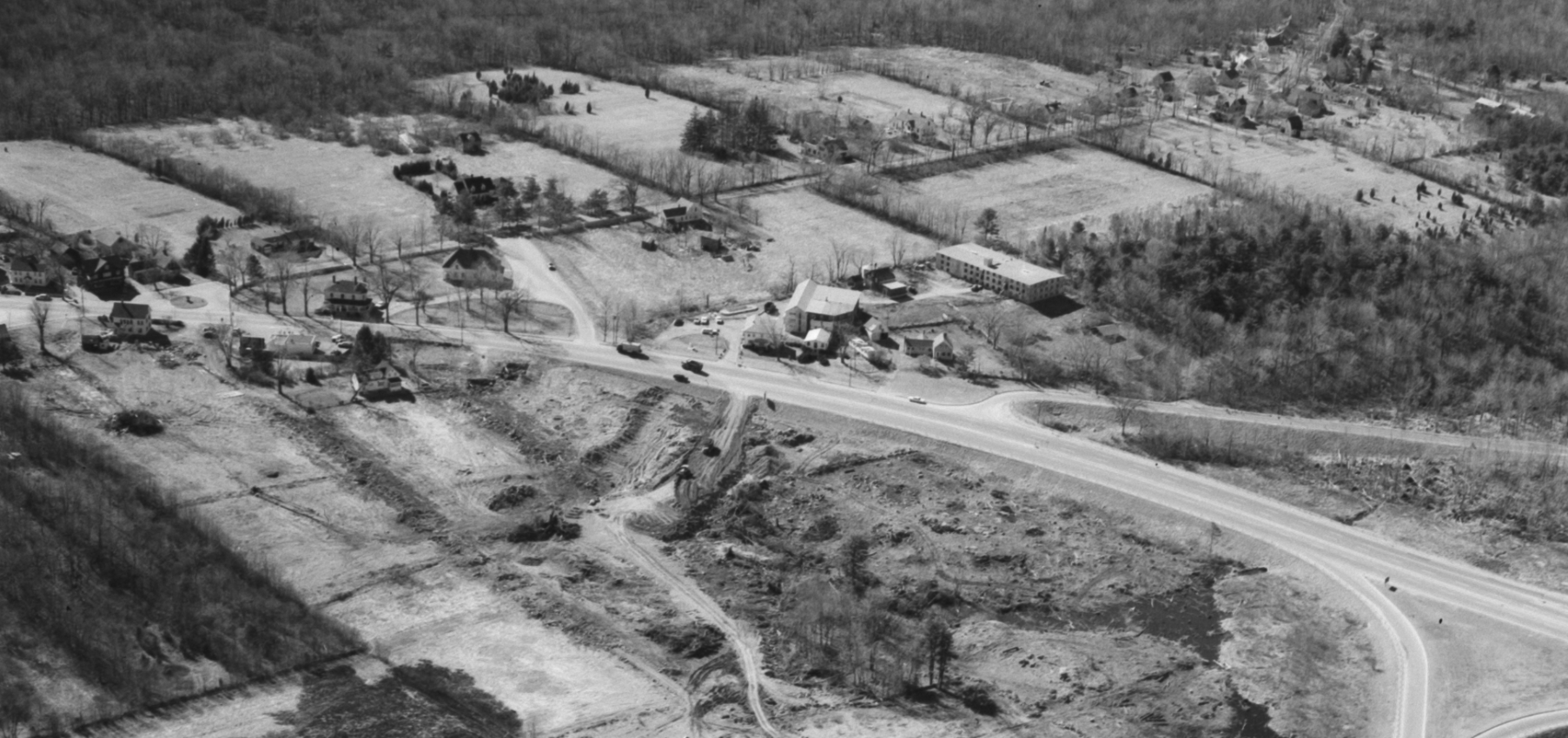
North Stoughton - probably 1958
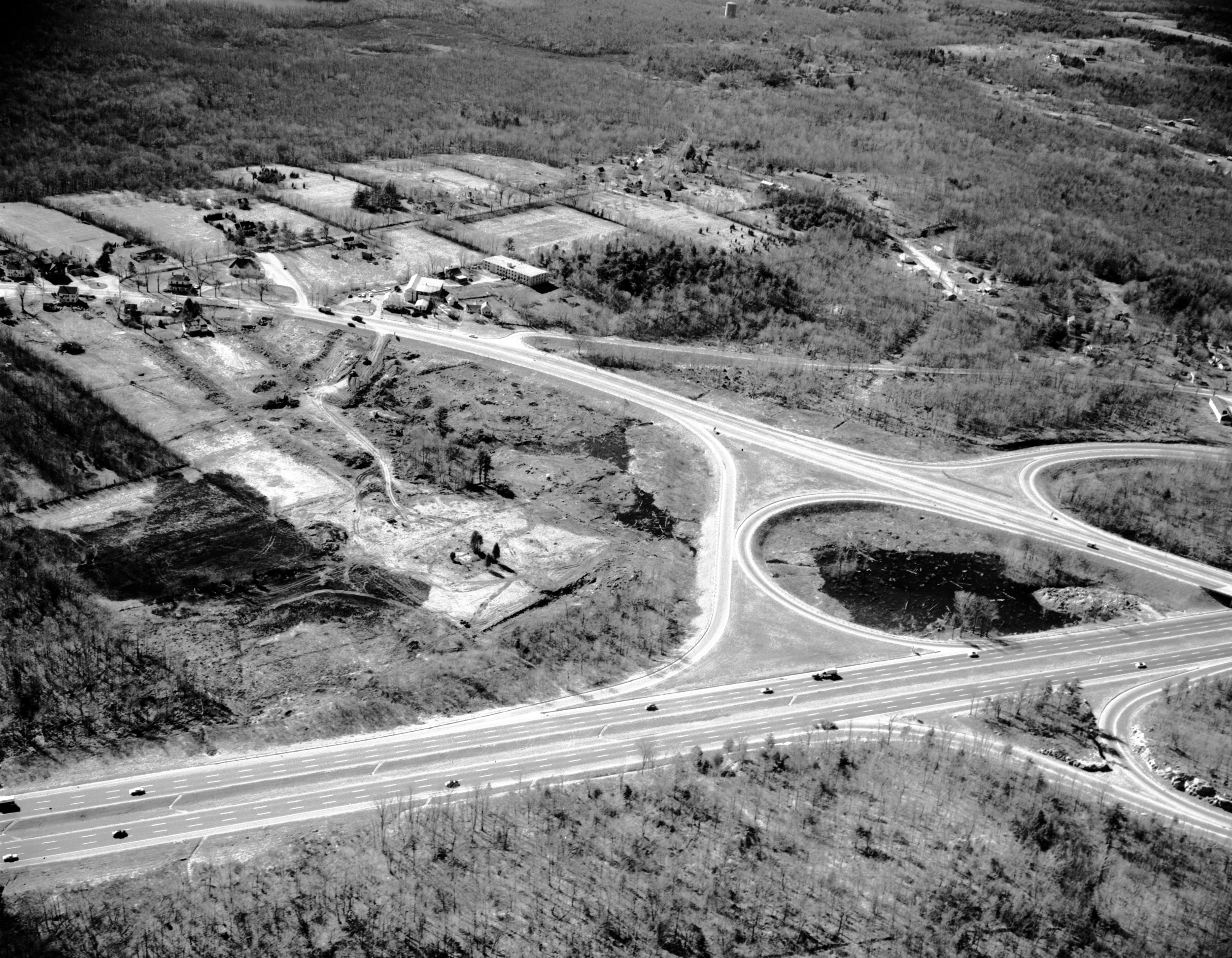
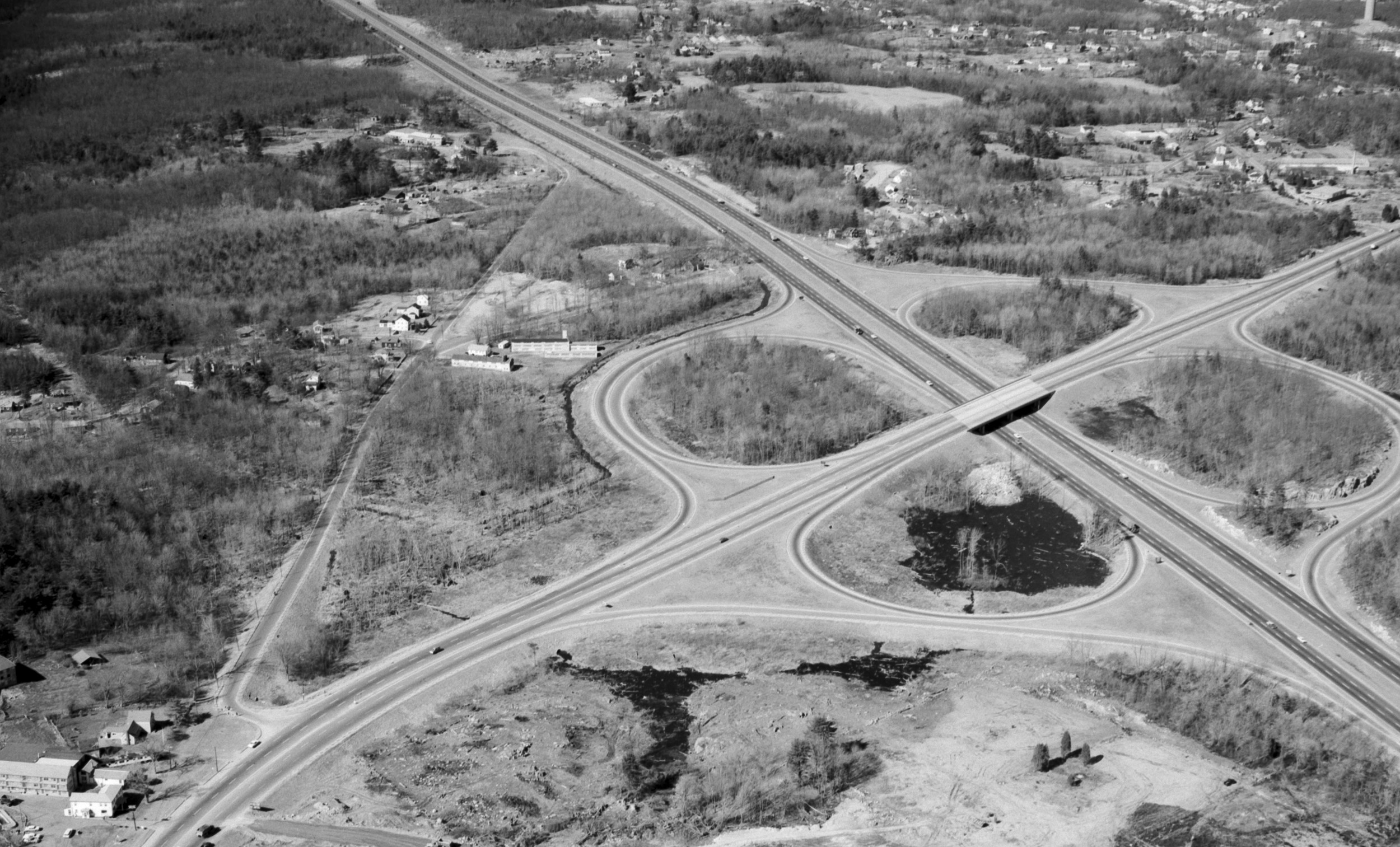
This is a zoomed-in crop of one of the aerial photos taken to document the new Route 139 overpass of Route 24.
Here is the full image. Turnpike Street runs over the northwest quadrant of the cloverleaf. A right of way for a gas pipeline crosses it. There is a Canton standpipe at the very top of the image. To the left of the standpipe we can see a dried up wetland or pond.
Looking northeast. This image shows Turnpike Street, with Willow crossing it. Both roads are cut in two by the new highway. How many homes were taken? The highway plans show only one on Willow. Also, where Turnpike terminates, to the left is plant that was at one time Marshall Paper Tube, on or near the site of the fireworks factory.